32 Days

This map shows the spread of the drought here in Texas during the last month. The whole south-east corner of Texas has reached a critical drought level. We think we have it bad, but when you look at the map, San Antonio and Victoria really have it bad. San Antonio gets its water from the Edwards Aquifer which is located west of the city. Victoria gets its water from the several man-made lakes which depend upon a constant flow of water from the same aquifer. How much longer before that aquifer starts to run dry? 
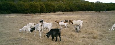
But the drought is spreading up into the Hill Country. The lakes that supply water to Austin, Lake Travis and Lake Buchanan, are reaching record low water levels. The boat ramps are now all high and dry. Lake Travis is only 47% full, while Lake Buchanan is 53% full. If the drought continues, the exceptional drought category will have spread to cover this ranch. Fortunately, our east pasture got a good start early this spring, so the herd still has plenty to eat. But without rain, they will eat it down very quickly. We need rain, but it is just not in the forecast. There is a high pressure system that has been hanging over central Texas for the last six weeks. This is forcing all the rain to pass north of Texas, up in Oklahoma. Unfortunately, it does nto look like that high is going to move any time soon. Lord help us!!
Labels: Austin TX, drought, Edwards Aquifer, Lake Buchanan, San Antonio, weather


0 Comments:
Post a Comment
<< Home