The Ghost Town That Wouldn't Die
This morning, I left Needles, California headed east on I-40. I pulled into a rest area, just before the end of the Mohave Desert and took a few pictures
Rolling on into Arizona, I saw a sign for a historic ghost town, Oatman, Arizona. Just before Kingman, Arizona, I got off of the Interstate and headed west down Historic Route 66. Oatman was twenty-two miles off of the Interstate. This took me into the mountains on a road that I would swear was designed by burros for burros! Once I passed Cool Spring, the speed limit dropped to twenty miles-per-hour. Believe me, on that road, you dare not go much faster!

Back and forth, always climbing until the top of the pass. Then, down the other side. The scenery was beautiful! The photos below show the view south from the top and the smaller one shows the detail of the elevation.


Looking north, toward Oatman, the scenery was breath-taking. Especially since I would now be driving down from the pass!

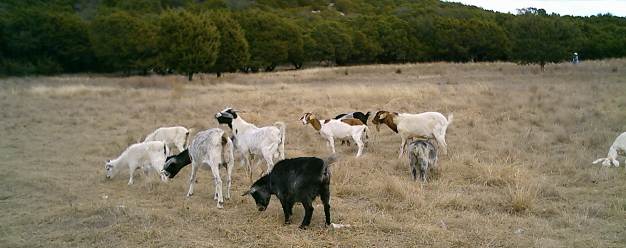
The town of Oatman was an old gold mining town. In its heyday, burros were used to transport goods into town, to work the mines and just about everything else. It virtually shut down during World War II when the government closed their mines. As the people left, the burros were let loose to fend for themselves. But the town did not die. Now, it is a tourist trap. The descendants of the released burros wander the streets and the nearby mountains. They are wild and, according to the signs, will kick and bite. Federal law protects the burros, so they pretty much have the run of the town.

The first store I passed driving into town was the Post Office. The town has its own Zip Code - 86433. Anything mailed there gets a special postmark. Going through town, there are about two dozen old buildings, all refurbished and selling everything from groceries and beer to leather goods, art work, jewelry, knives and sulveneers. The town also sports several restaurants and a saloon.

I did not see a doctor's or dentist's office, a medical clinic, a hospital or an ambulance service. There is no flat ground, either in town or in the immediate area, for a medivac helocopter to land. Don't get sick or injured here because it is a long, slow ride to the nearest hospital!
Route 66 continues west, twisting and turning its way for miles, down to the Mohave Desert, toward Death Valley, CA. I did not take it.

Instead, I turned around and headed east on Route 66, back up and over the pass and down to I-40. I made it before noon and headed east on the Interstate.

After a while, I decided to get some lunch. I pulled over in Williams, Arizona. This is the home of the Grand Canyon Railway. I wandered around the railroad depot for a while to stretch my legs. Of course, I took a few pictures. Then, I got back on I-40 and headed for the New Mexico state line.
I ran out of day and pulled over for the night in Gallup, New Mexico.
Labels: burros, Ghost Town That Wouldn't Die, Grand Canyon Railway, I-40, Oatman AZ, Route 66, Williams AZ
posted by Jalapeno Bob at 12:50 AM
![]()


0 Comments:
Post a Comment
<< Home